****
|
|
|
|
**** | |
| Google Maps w/ Street view | Street maps and Aerial Photos |
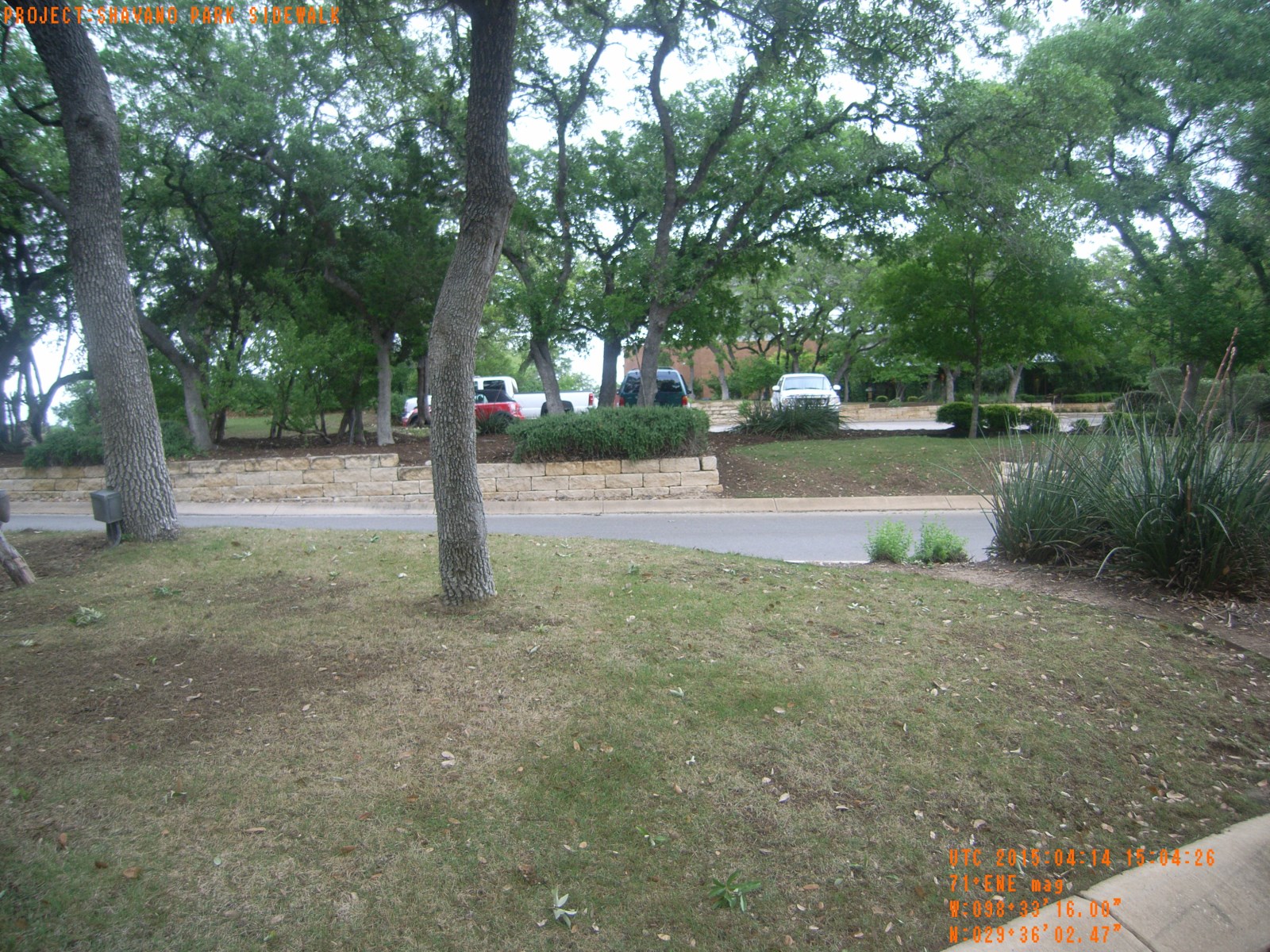
| Photograph Specific Information | |
| Location (Latitude) | 29.600686 |
| Location (Longitude) | -98.554444 |
| Location (P,X,Y) | 4204 2110086 13766220 |
| Location (X) | 2110086 |
| Location (Y) | 13766220 |
| Datum | US State Plane NAD 83 Texas South Central ft (4204) |
| Elevation | 1040 ft |
| Direction | 76.7° |
| Time | 04/14/2015 10:04:25 AM |
| Original File | R0021135.JPG |